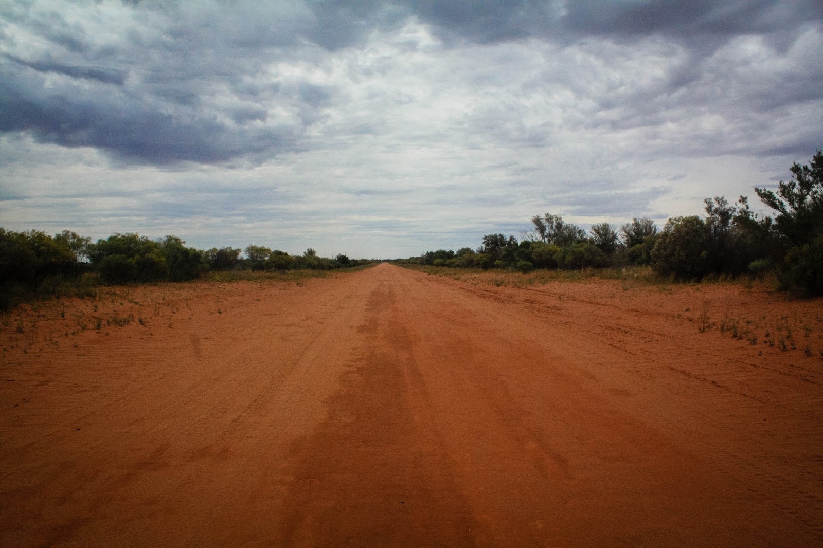
The final leg of our journey saw us drive home through many more miles of nothingness. We drove all day on dirt roads without seeing another vehicle and with only bearded dragons and feral goats for company. Although there is no water in the creeks, there has actually been rather more rain than usual in this area of late, and there is substantially more green than normal.
 |
| Salt Hole Creek |
 |
| Bearded dragon keeping watch |
We went for a walk in Mutawintji National Park, where we stumbled across this little piece of history. William Wright, manager of Kinchega Station at Menindee, was signed on as the leader of the support group for the ill-fated Burke and Wills expedition of 1860. Wright visited Mootwinjee in 1859 and 1862 leaving his mark here in the blue triangles.
 |
| Markings left by William Wright |
Even in the harshest of climates there is beauty; flowers bloom even if they are weeds.
We stayed at The White Cliffs Underground Motel. As the name suggests, it is cut into the White Cliffs. And it's underground. The thirty rooms remain at a constant temperature of 22-23 degrees, which is welcome when outside temperatures range from below freezing in winter to above 50 degrees in summer.
As well as the bedrooms, there is a dining room, several lounge areas and even a conference room. The motel is surprisingly comfortable and, once I got over my claustrophobia, I had an amazingly good night's sleep, undisturbed by noise or light.
 |
| Our snug underground bedroom |
 |
| Going underground |
 |
| He drinks wine; he reads about beer; so multi-talented |
 |
| White Cliffs artwork |
 |
| It makes sense there should be a decent wine cellar |
People always blather on about the light in these places, but this is pretty special. We walked out in the sunset, as the wind whipped across the plains. The view of the stars is meant to be exceptional here at night, but it was cloudy so we couldn't see anything after dark.


Opals were first discovered in White Cliffs in 1884 and it became Australia's first viable commercial opal mining field; by the end of the 19th century it was the largest producer of precious opal anywhere in the world. White Cliffs predominantly produces seam opal, and is notable for producing opal pineapple, a strangely-shaped opal fossil in the shape of a mineral crystal.
George Hooley and Alf Richardson were out on Momba Station hunting kangaroos when a horse kicked up a bright stone. Unsure as to the value of their find, they showed surveyor Charlie Turner who advised them to send a sample to Tullie Wollaston in Adelaide who was interested in opal.
Wollaston came immediately to meet Hooley, Richardson, Turner and partner, Clouston. The opal was so different from anything he had seen, Wollaston barely knew what to offer them. With his funds limited to 150 pounds, Wollaston decided to offer 140 pounds, keeping ten pounds in reserve. "On naming the figure there was a great calm. They were simply paralysed - but only for a moment and then eight hands shot out."
In hindsight Wollaston realised, "I could have had the whole lot for ten pounds but did not regret offering a fair price." Wollaston went on to prosper and made the men the first Opal Kings of White Cliffs.
It was once populated by a boom of thousands; now people go out there to escape society, fossicking in the soil for the gemstones. Most of the permanent inhabitants live underground, like wombles, but many of the itinerants live on their mining sites and use fairly basic mining equipment. It's quiet and peaceful, but so isolated it would take a special type of person to live out here. At the last census the town had a population of 103.

 |
| Him Outdoors examining the diggings |
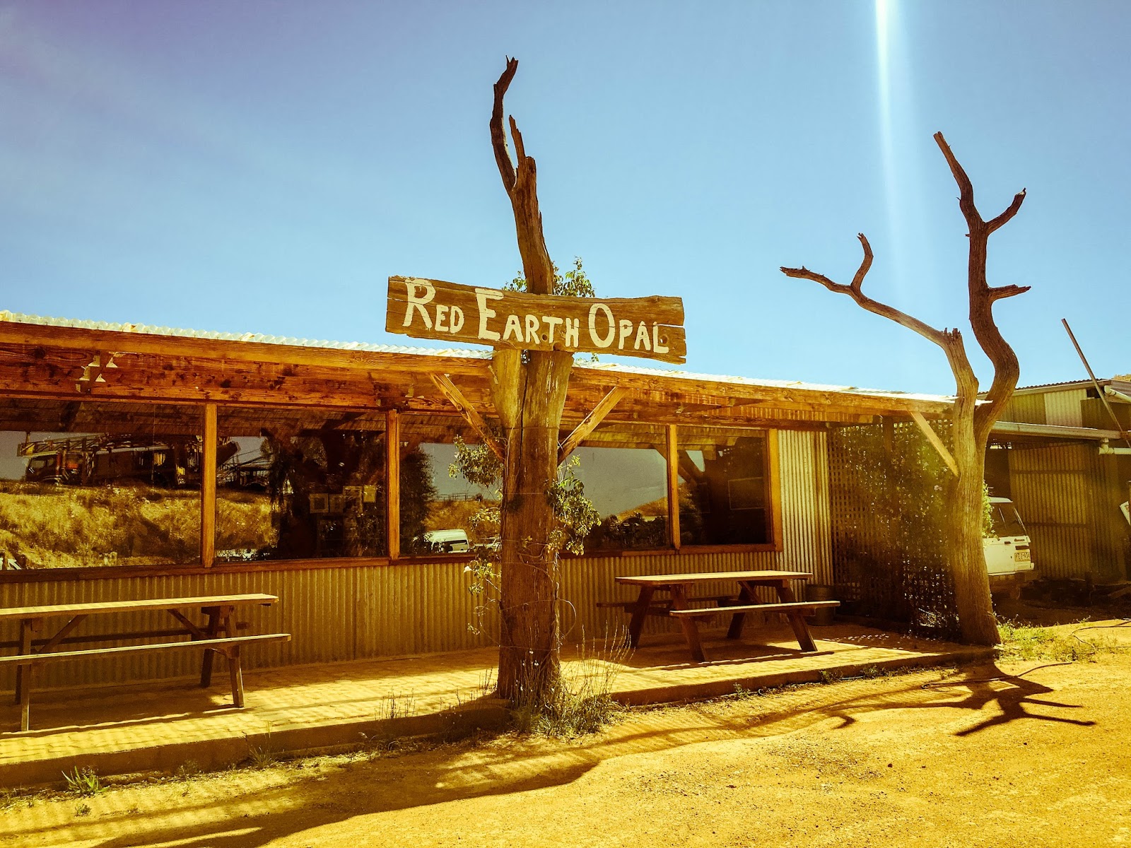
Red Earth Opals has a cafe, a showroom and a range of paintings and artwork. We had a delicious coffee while looking at the opals for sale. We simply couldn't resist buying a gorgeous crystal opal ring for my birthday from Graeme Dowton who mines the gems and sets them in jewellery himself.


Our journey home took us through several little towns such as Wilcannia. During the great river-boat era of the mid nineteenth century, this was the third largest inland port in the country. Located where the Barrier Highway crosses the Darling River, it played a major part in the transport of goods by paddle steamer, namely wool and wheat.
During the 1880s, the township was prosperous and home to over 3,000 people. It's current population is just 600, with 466 (77%) people being of Aboriginal descent. Despite the fine old buildings such as the churches, wharf warehouses, post office and court house, it feels abandoned and depressed; in the 2015 Dropping Off the Edge Report it was listed as one of the most socially disadvantaged areas in the state.
 |
| St James Anglican Church, Wilcannia |
 |
| Bridge over the Darling River |
...and Cobar - the name derives from the Aboriginal Ngiyampaa word for copper, Kuparr, Gubarr or Cuburrs meaning 'red earth' or 'burnt earth', the ochre used in making body paint for Corroborees. The name also represents an Aboriginal attempt to pronounce the word, 'copper'.
The town, on the eastern edge of the outback, is at the crossroads of the Kidman Way (to Queensland) and Barrier Highway (to South Australia). Its economy is based on mining and pastoralism and it retains much of its nineteenth-century architecture.
 |
| St Laurence O'Toole Catholic Church, Cobar |
 |
| Geographical mural, Cobar |
 |
| This is the Big Beer Can - Australia likes their odd 'big' icons |
Final stop: Orange, back to the greenery and at a favourite winery, Stockman's Ridge.
 |
| Cheers! |